Selected site
—
ship-hours in the core habitat, past 12 months
—
last month's ship-hours
—
largest vessel type
Ship-hours per month, by vessel type
Whale shark season
Cargo
Tanker
Passenger
Fishing
Other

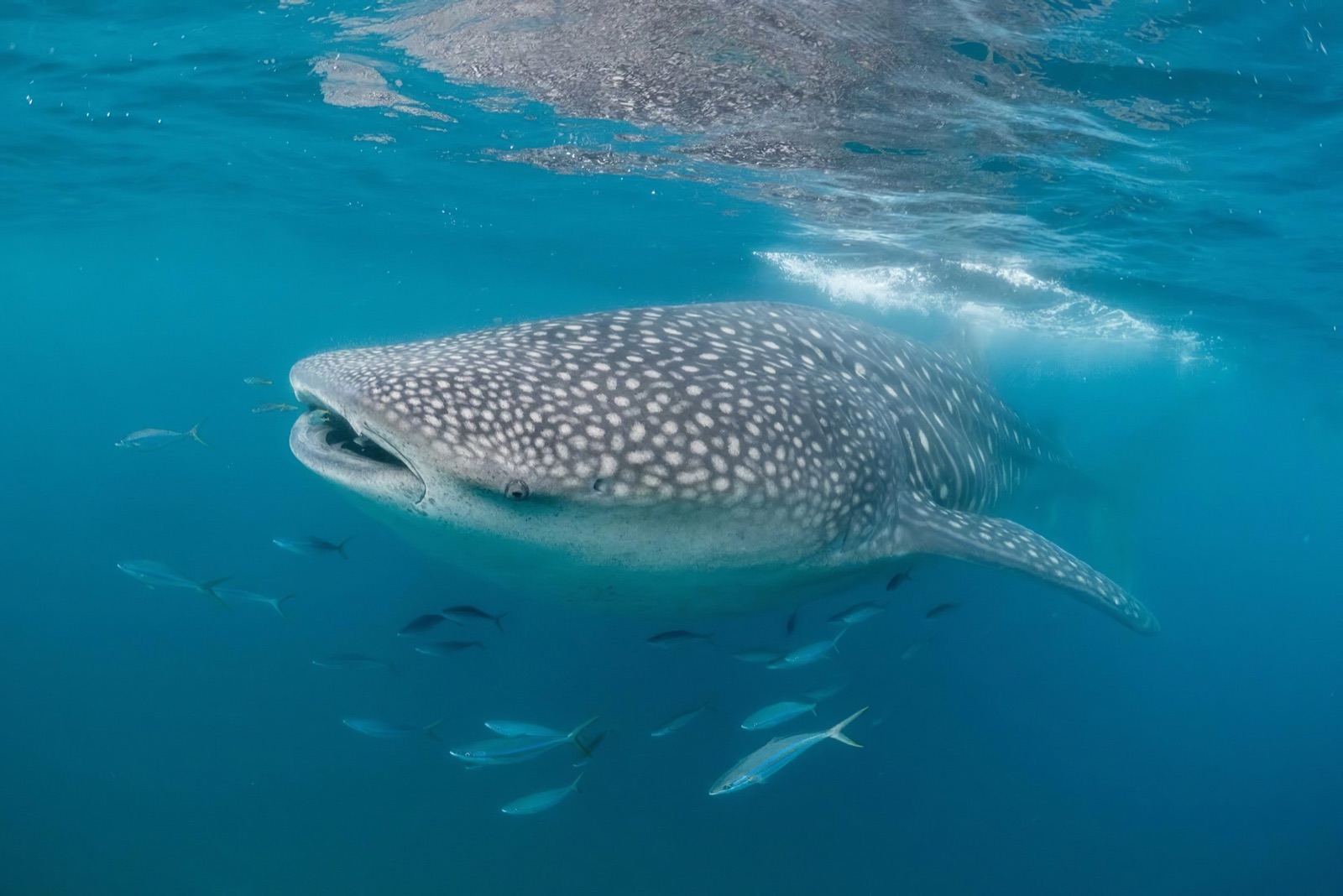
Whale sharks feed at the surface, right where ships pass. Numbered pins are last month’s busiest hotspots; dots are ships at sea now.
Ship traffic through each whale shark core habitat, by vessel type
Whale sharks are Endangered, and many of the places they feed sit on busy shipping routes. Your gift funds MMF’s research on where whale sharks live and travel, and on the ship traffic that crosses those places.
Whale sharks spend much of their time at the surface, in the same waters as some of the world’s busiest shipping routes. Collisions are almost never recorded, so we measure the next best thing: how much ship traffic passes through the places whale sharks depend on.
MMF scientists co-authored the global studies that established ship strike as a serious threat to whale sharks: where vessel traffic and whale shark habitat overlap, which sites most need collision management, and how a warming ocean will push whale sharks further into busy shipping routes. The — core habitats on this map come from that work; — of them have ship-traffic data so far.
How the top five are chosen. The map opens on the five hotspots with the most ship-hours inside the core habitat in the latest complete month of Global Fishing Watch data, counting all vessel types. This is a deliberately simple first rule; later versions may weigh in vessel size and speed, or traffic in the 10 km zone around each site.
Global Fishing Watch ship-hours are sampled vessel presence in each core habitat and update monthly. Live positions and the past-30-days counts come from a free AIS feed: each detected vessel counts once per UTC day. AIS reception is incomplete, especially in tropical waters, so missing observations do not mean no ships were present.
Womersley et al. (2022) Global collision-risk hotspots of marine traffic and the world’s largest fish, the whale shark. PNAS 119(20).
Womersley et al. (2024) Identifying priority sites for whale shark ship collision management globally. Science of the Total Environment 934.
Womersley et al. (2024) Climate-driven global redistribution of an ocean giant predicts increased threat from shipping. Nature Climate Change 14.